


Description
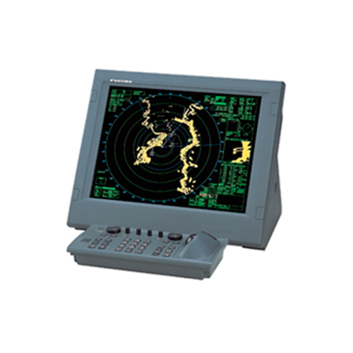
Radars
Types of Radars:
- X-Band Radar:
- Frequency Range: 8.0 – 12.0 GHz.
- Applications: Short to medium-range navigation and collision avoidance.
- Features: High resolution, accurate target detection, less affected by precipitation.
- S-Band Radar:
- Frequency Range: 2.3 – 4.2 GHz.
- Applications: Long-range navigation, weather monitoring.
- Features: Penetrates fog and precipitation better than X-band radar, suitable for long-range detection.
- ARPA (Automatic Radar Plotting Aid):
- Function: Provides automated tracking of nearby vessels, predicts collision risks, and aids in collision avoidance.
- Features: Integrates radar data with AIS (Automatic Identification System), calculates CPA (Closest Point of Approach) and TCPA (Time to Closest Point of Approach).
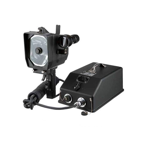
- Radar Transponders (SARTs):
- Function: Emergency beacons that respond to radar signals, aiding in search and rescue operations.
- Features: Compact, battery-operated, automatically activate when immersed in water.
Gyrocompasses
Types of Gyrocompasses:
- Electromagnetic Gyrocompass:
- Function: Uses electromagnetic forces to maintain alignment with true north.
- Features: Stable, accurate, unaffected by magnetic disturbances.
- Fiber Optic Gyrocompass:
- Function: Relies on the interference of light to detect angular velocity and maintain alignment with true north.
- Features: Compact, lightweight, less susceptible to shock and vibration.
- Ring Laser Gyrocompass:
- Function: Utilizes the Sagnac effect in a ring laser to detect rotation and determine true north.
- Features: Highly accurate, rapid response, no moving parts.
Other Navigation Bridge Room Equipment
- Echo Sounders:
- Function: Measure water depth beneath the vessel, aiding in navigation and ensuring safe passage.
- Features: Depth display, bottom contour mapping, fish detection.
- GPS (Global Positioning System):
- Function: Provides accurate positioning information using signals from satellites.
- Features: Continuous tracking, real-time position updates, integration with other navigation systems.
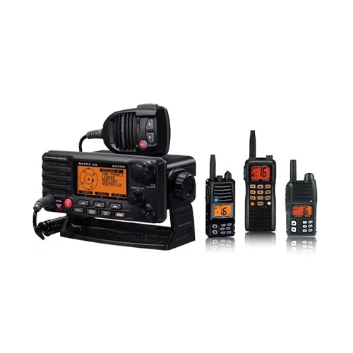
- AIS (Automatic Identification System):
- Function: Broadcasts vessel information, including position, course, speed, and identification, to other vessels and shore stations.
- Features: Collision avoidance, vessel tracking, integration with radar and ECDIS.
- ECDIS (Electronic Chart Display and Information System):
- Function: Displays electronic navigational charts, integrating with GPS and AIS for navigation planning and route monitoring.
- Features: Route optimization, real-time chart updates, alarms for navigational hazards.
- Speed Log:
- Function: Measures the speed of the vessel through water, aiding in navigation and fuel consumption monitoring.
- Features: Doppler or electromagnetic sensor, display of speed and distance traveled.